What happened to London's NE and S postcodes? Drawing on the expertise of our local teams, we discover how the world's first stamp and a Victorian novelist brought an end to the city's NE and S postal districts.
Up until the 1850s London's postal system had run effectively using one postcode to cover the entire city. However, as the capital's bounds expanded and volumes of post increased, it became clear that London would require a more detailed system of postal districts.
In for a Penny
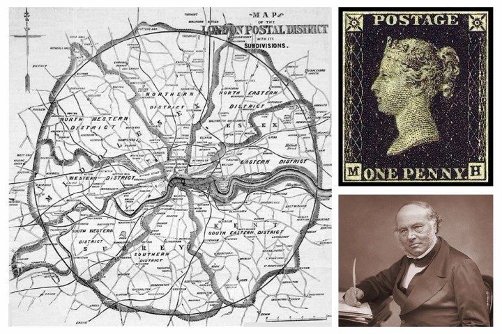
In 1840 Victorian inventor and social reformer Sir Rowland Hill had created the 'Penny Post', a single-price postal system using prepaid stamps. The world's first adhesive postal stamp, the Penny Black, made the UK postal system simpler and more affordable, creating a surge in demand.

In 1856 Hill began to create a new system of London postal districts that would help deal with the huge increase in postal volume. These districts radiated out from the central London sorting office in St Martin's Le Grand. As well as EC and WC for east and west central, these new areas included all points of the compass: E, NE, N, NW, W, SW, S, SE and E.
The new system was implemented in 1858, giving each district its own office and making the capital's postal service significantly quicker and more efficient. So what happened to the NE and S districts?
S not there NE more
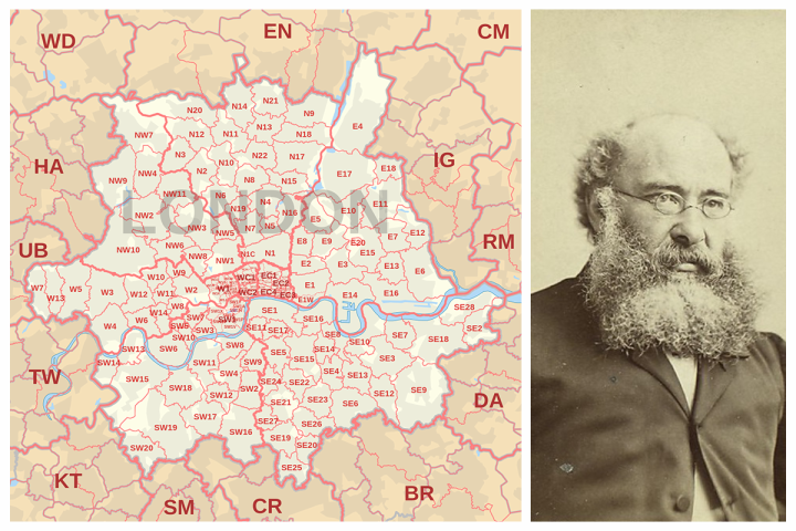
As well as establishing himself as a successful novelist, Anthony Trollope also worked for the Post Office from 1834-67. During this time he is credited with introducing postboxes to the UK, and is also reported to have dipped into the undelivered letters pile from time to time for inspiration for his novels.
In 1866, Trollope was tasked with investigating the effectiveness of the new London postal districts established by Rowland Hill a decade earlier. His findings secured the fate of the NE postcode, as the volume of post there was not found to be enough to justify a dedicated postcode and office.

In 1868, the S district went the same way, and was merged into both SW and SE districts, while NE was divided between the N and E postcodes. NE was eventually used for the Newcastle area, while S was allocated to Sheffield.
Gone south
The Post Office was aware that these changes could be controversial, and residents in the NE and S districts were not at first informed of their new status. Post marked 'NE' or 'S' was simply sorted into the new adoptive districts. However, when the news finally came out in 1869, residents were not happy.
East London now carries its own creative cachet, but things were quite different in the 19th century. Residents of the NE postcode in particular objected to being merged with east London, and many streets kept their NE signs until well into the 20th century. One (below) is still there today.

Want to know more about your area? Find your nearest office here and speak to our local experts today.
For a more detailed look at London's postal map and its impact on the city, historian Dr Helen Kearney explores this, and other urban design issues facing the capital. Follow her work on Twitter at @map_modernity.